Home
Geographic Information Systems (GIS)
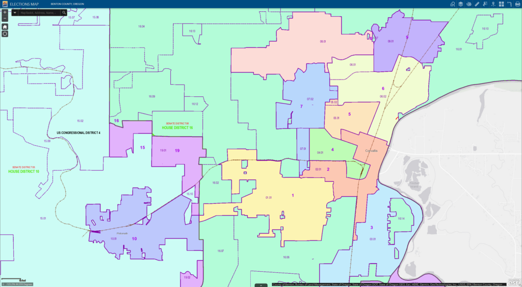
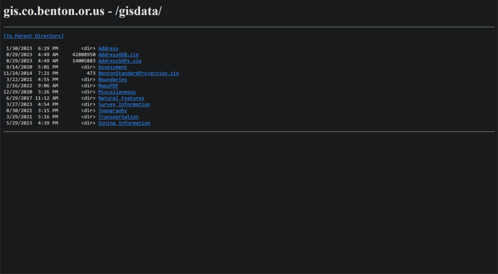
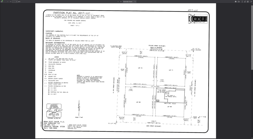
Products available from our site include both interactive web maps and GIS data for public use. Public use data can be in the form of pdfs, connectable links, and downloadable data. Links to online maps will take you away from this page. See our FAQ section for common GIS related questions.
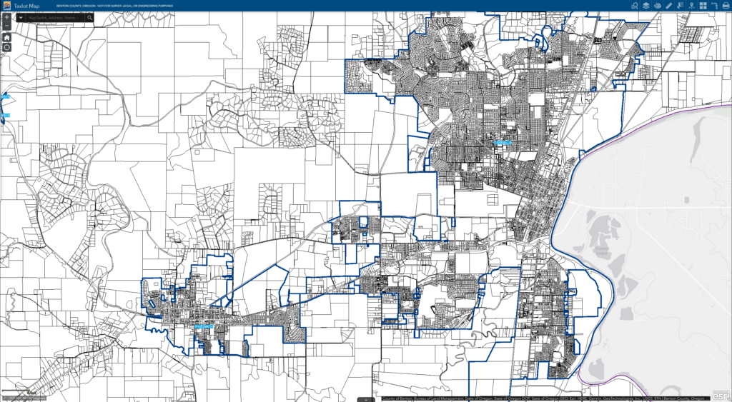
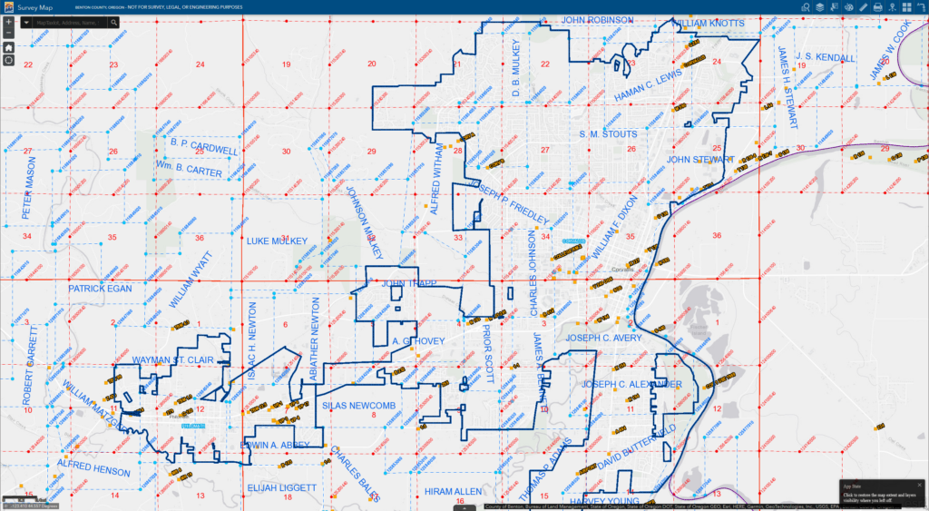
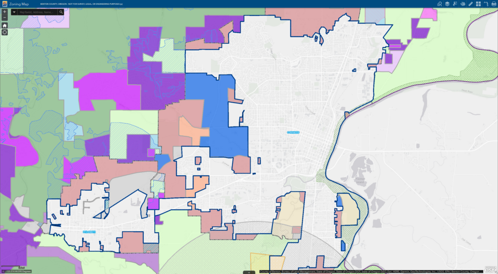
Interactive Web Maps
GIS Data
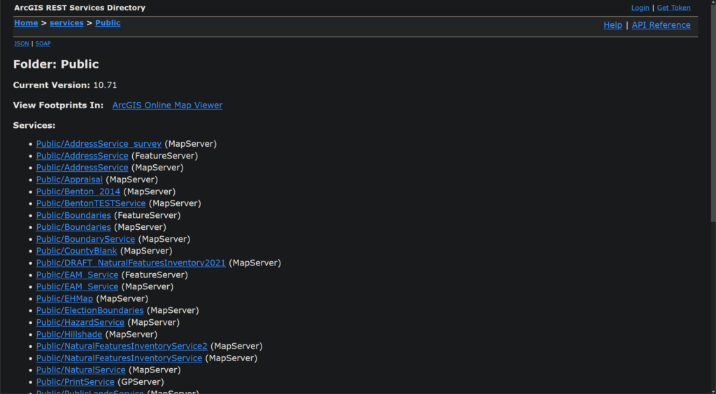
External Links
State
Oregon Statewide Departments and Resources
Federal
Nationwide Departments and Resources
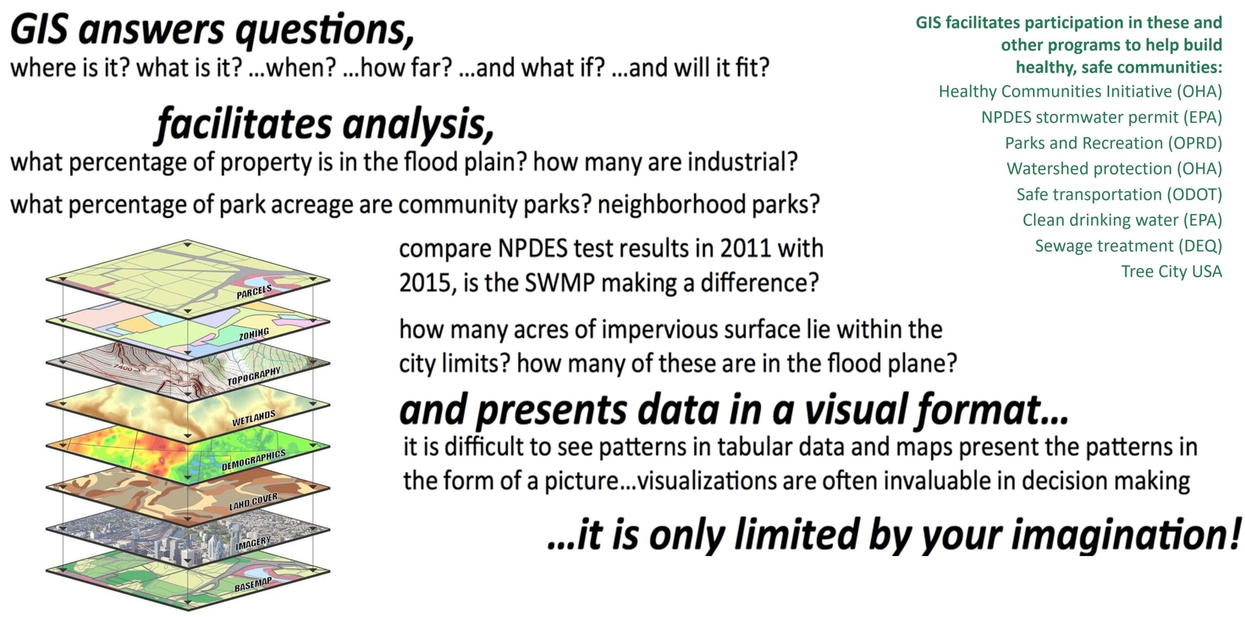
“A geographic information system (GIS) lets us visualize, question, analyze, interpret, and understand data to reveal relationships, patterns, and trends.” [Esri]
GIS is a spatial data management and decision making tool that consists of people, software, and data. GIS assists with documenting the real world in digital format with a graphic user interface. Visit our main GIS page and check out some of our interactive mapping applications.